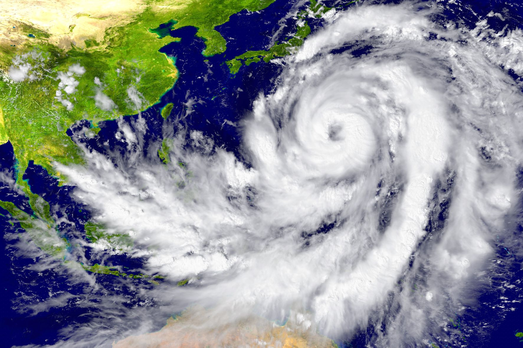
Imperial College London has created the world’s most accurate tropical cyclone maps with the help of DreamLab users.
Scientists at Imperial College London have created the world’s first tropical cyclone maps, thanks to the data processing ability of Vodafone Foundation’s DreamLab app.
These maps, freely available to the public, show the parts of the world that are exposed to tropical cyclone risk. Communities, businesses and governments can use the new maps to prepare better for cyclones, ensuring the right infrastructure is in place to minimise damage.
Cyclonic irrigation
Tropical cyclones, also known as typhoons or hurricanes, are one of the world’s most destructive natural disasters. They cost billions in damage each year and affect millions of people.
According to the World Health Organization, the number of people living in exposed areas has increased by 192% during the past 30 years, putting more lives at risk when these events occur.
As climate change causes ocean temperatures to rise, even more intense tropical storms with increased rainfall and wind speeds could occur in the future, resulting in even more damage and destruction.
To better protect against these storms, scientists, governments and communities need to understand how likely they are to occur. However, only 40 years’ worth of reliable cyclone data exists.


![Close-up-view-of-race-horse-entering-starting-gate[Adobe-Stock][OPTIMISED] Close up view of race horse entering starting gate.](https://www.vodafone.co.uk/newscentre/app/uploads/2025/03/Close-up-view-of-race-horse-entering-starting-gateAdobe-StockOPTIMISED.jpg)